Student learning · Grades 6–8 · 45 minutes
What Your Map App Knows
Students plot a fictional teen's Saturday from location clues on a town map, discover how much a trail of pings reveals, weigh safety against privacy, and write a location settings checkup plan.
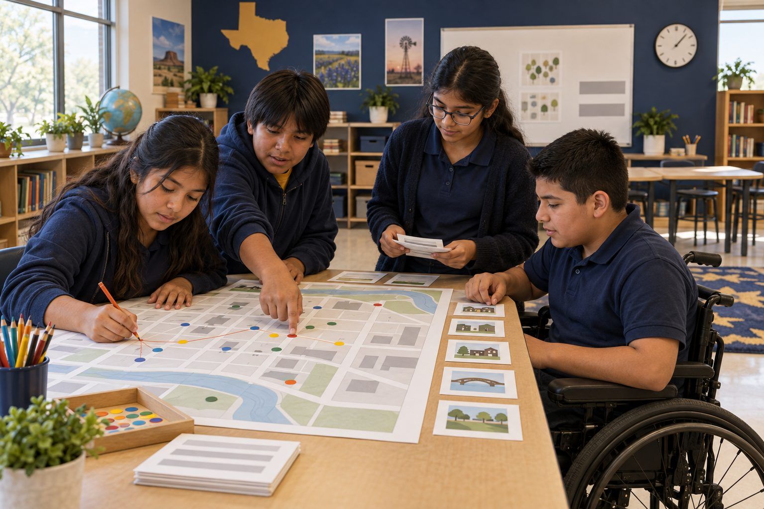
Phones, games, cameras, and friend-finder apps can record where we are, often without us thinking about it. In this unplugged simulation, teams receive twelve location clues from one Saturday in the life of Dani, a fictional seventh grader in the fictional town of Juniper Falls: map app pings, a geotagged photo, a check-in, a live location share. Teams plot the trail on a printed town grid and discover that a handful of dots reveals where Dani lives, who Dani hangs out with, and where Dani will probably be next Saturday. Then students weigh when sharing location keeps people safe and when it puts them at risk, and write a step-by-step checkup plan for their own device settings.
In this packet
- Handout A: Juniper Falls Town Grid (organizer)
- Handout B: Dani's Saturday Location Clues (cut-apart cards)
- Handout C: My Location Settings Checkup Plan (worksheet)
- Facilitator key (last page)
TCEA ELE indicators
- S2.1 I know how to protect my personal information online.
- S2.3 I am aware of the potential risks of sharing content online.
- S5.1 I know how to approach complex problems systematically.
Full facilitator guide: mglearn.github.io/eles/activities/what-your-map-app-knows.html
Handout A for What Your Map App Knows
Juniper Falls Town Grid
Juniper Falls is a made-up town. Each box is one block. Plot Dani's clues with numbered dots in time order and connect them into a trail.
| Row | A | B | C | D |
|---|---|---|---|---|
| 1 | Juniper Falls Library | Cedar Park and Skate Ramp | Pine Ridge Apartments | Ridgeview Soccer Fields |
| 2 | Main Street Shops | Blue Heron Café | Town Pool | Juniper Falls Middle School |
| 3 | Oak Court (houses) | Maple Lane (houses) | Post Office | Sunny Days Donuts |
| 4 | Willow Creek Trail | Grandview Grocery | Juniper Cinema | Fire Station |
| 5 | River Bend Houses | Hillside Houses | Juniper Falls Bus Station | Lakeside Picnic Area |
Handout B for What Your Map App Knows
Dani's Saturday Location Clues
Put the clues in time order, then plot each one on the Juniper Falls grid. Write the source of each clue next to its dot. The backs are for your teacher.
Sheet 1 of 2
Location history · 12:10 AM
Dani's phone saved a location point overnight: Oak Court (houses), A3. The phone stayed there until 8:50 AM.
Map app · 9:05 AM
Dani's map app got directions from Oak Court to Ridgeview Soccer Fields, D1. Travel mode: car.
Check-in · 9:20 AM
Dani's team app posted: "Dani checked in at Juniper Falls Thunder practice, Ridgeview Soccer Fields."
Map app suggestion · 8:40 AM
Dani's phone showed a pop-up: "Leave now for Ridgeview Soccer Fields. 6 minutes." Dani never typed that in.
Live location share · 11:30 AM
Dani's friend Rae sees Dani on a friend-finder map: "Dani is at Blue Heron Café, B2, with you."
Geotagged photo · 11:45 AM
Dani posted a photo of two smoothies. Hidden in the photo file: GPS location = Blue Heron Café, B2, and the time it was taken.
Game · 1:15 PM
A monster-catching game running in the background recorded Dani's location at Cedar Park and Skate Ramp, B1.
Photo post · 1:40 PM
Rae posted a video: "Dani landing the kickflip at Cedar Park!" with Dani tagged by name.
Handout B for What Your Map App Knows
Dani's Saturday Location Clues
Put the clues in time order, then plot each one on the Juniper Falls grid. Write the source of each clue next to its dot. The backs are for your teacher.
Sheet 2 of 2
Map app · 3:10 PM
Dani searched for "Sunny Days Donuts" and walked there, D3.
Location history · 4:30 PM
Dani's phone saved a location point at Maple Lane (houses), B3, for 2 hours.
Live location share · 7:05 PM
Dani's family's location app: "Dani arrived at Home, Oak Court, A3."
Location history · 11:00 PM
Dani's phone saved a location point: Oak Court (houses), A3. The phone stayed there all night.
Handout C for What Your Map App Knows
My Location Settings Checkup Plan
Make a plan you can do with a family member on one device (a phone, tablet, or game console). You don't need to write down any real places.
The device I will check is: ___. The grown-up who will help me is: ___.
Step 1: Find the main location setting. What I will look for and where I think it is:
Step 2: Go app by app. For each app, I'll choose never, while using, or always. Two apps I'll check first and what I expect to choose:
Step 3: Who can see my live location right now? Who should stay on the list, and why?
Step 4: Does my camera save location in photos? What will I decide?
Step 5: Is location history turned on? What will I do about it?
One location choice I will KEEP ON because it keeps me safer, and why:
I will check these settings again on (date): ___, and whenever I install a new app.
Facilitator only for What Your Map App Knows
Answer key and notes
Handout B: Dani's Saturday Location Clues
- Location history · 12:10 AM
- Where a phone sits overnight is almost always home. This is the clue Dani never saw being created.
- Map app · 9:05 AM
- Someone drove Dani to soccer. Directions requests reveal both the start point and the destination.
- Check-in · 9:20 AM
- Dani chose this one on purpose. It shows the team name, too, which tells people where Dani will be every Saturday morning.
- Map app suggestion · 8:40 AM
- The phone predicted the trip from Dani's past Saturdays. The pattern of past locations lets software guess future ones.
- Live location share · 11:30 AM
- Dani and Rae share live location. That's a choice between friends, but anyone on Dani's list can see where Dani is right now.
- Geotagged photo · 11:45 AM
- Many cameras can save location inside a photo file. Some apps remove it when you post; others keep it. Worth checking your camera setting.
- Game · 1:15 PM
- The game had location set to "always." Dani wasn't even playing. Apps with "always" permission can collect location all day.
- Photo post · 1:40 PM
- Someone else shared Dani's location. You can't control every post, but you can talk with friends about tagging.
- Map app · 3:10 PM
- Search history and walking directions add another dot. Together with the others, a full day is visible.
- Location history · 4:30 PM
- A long stop at a house in the afternoon suggests a friend's or relative's home. Location history saves places you stay a while.
- Live location share · 7:05 PM
- Family sharing can be a real safety tool. It also confirms the home location from Card 1.
- Location history · 11:00 PM
- Same place, same time, week after week. Now anyone who saw this trail could guess where Dani lives and where Dani will be next Saturday at 9:20 AM.